How AI and satellites can help protect our oceans | Euronews Tech Talks
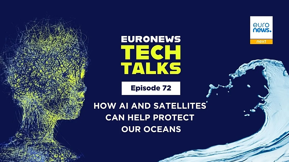
How AI and Satellites Can Help Protect Our Oceans Euronews Tech Talks How AI and satellites can help - On 8 June, United Nations Secretary-General António

How AI and Satellites Can Help Protect Our Oceans
Euronews Tech Talks
Poinews.com – On 8 June, United Nations Secretary-General António Guterres warned that “our oceans face severe challenges as human activity pushes them beyond their limits.” His statement coincided with World Oceans Day and the release of the third World Ocean Assessment by the UN. The report highlights alarming trends, including a continued rise in global sea levels and an accelerated increase in ocean heat since 1955. Notably, around 16% of this heat gain occurred after 2018, while Arctic sea ice coverage continues to shrink.
Euronews Tech Talks spoke with Alain Arnaud, head of the digital ocean program at Mercator Ocean International, to explore how emerging technologies like artificial intelligence and satellite systems can aid in preserving marine ecosystems. Mercator’s European Digital Twin Ocean (EDITO) serves as a central example, offering a digital replica of the ocean accessible online and at no cost.
EDITO, first unveiled in 2022 by European Commission President Ursula von der Leyen, is an EU initiative led by Mercator and the Flanders Marine Institute. It combines interactive world maps with data on oceanic conditions, from temperature fluctuations to plastic pollution. “The model delivers high-resolution insights into ocean dynamics, including waves, currents, salinity, and biological systems,” Arnaud shared with Euronews Next.
Recently, EDITO was integrated into the EU’s OceanEye project, a broader strategy for enhancing ocean monitoring. The platform is expected to reach full operational status by 2030. One of its standout features is the ability to simulate hypothetical scenarios, such as predicting fish population shifts under a 2°C temperature rise or evaluating how seagrass might mitigate coastal erosion.
“AI models allow users to adjust oceanic starting conditions, enabling predictions for diverse environmental outcomes,” Arnaud explained.
EDITO also introduces an AI-powered chatbot, which was launched during Digital Ocean Week in Brussels. While currently exclusive to the platform, Mercator is exploring partnerships with major AI firms like ChatGPT to expand access to ocean-related insights. “AI is advancing so swiftly it’s both impressive and intimidating,” Arnaud remarked, emphasizing the need for adaptability.
Satellites play a vital role in supporting EDITO’s data collection. Arnaud noted that the project primarily uses European satellite data but also incorporates information from collaborations with the U.S., India, and Japan. The Copernicus program, part of the EU’s space initiative, provides surface-level ocean data, while more detailed in-situ measurements come from global research vessels. EDITO is intended for scientists and policymakers but aims to strengthen ties with the European Maritime Security Agency to bolster maritime safety efforts.