
Heat map shows most of Spain in intense heat: how much will temperatures rise where you live?
Heat map shows most of Spain -

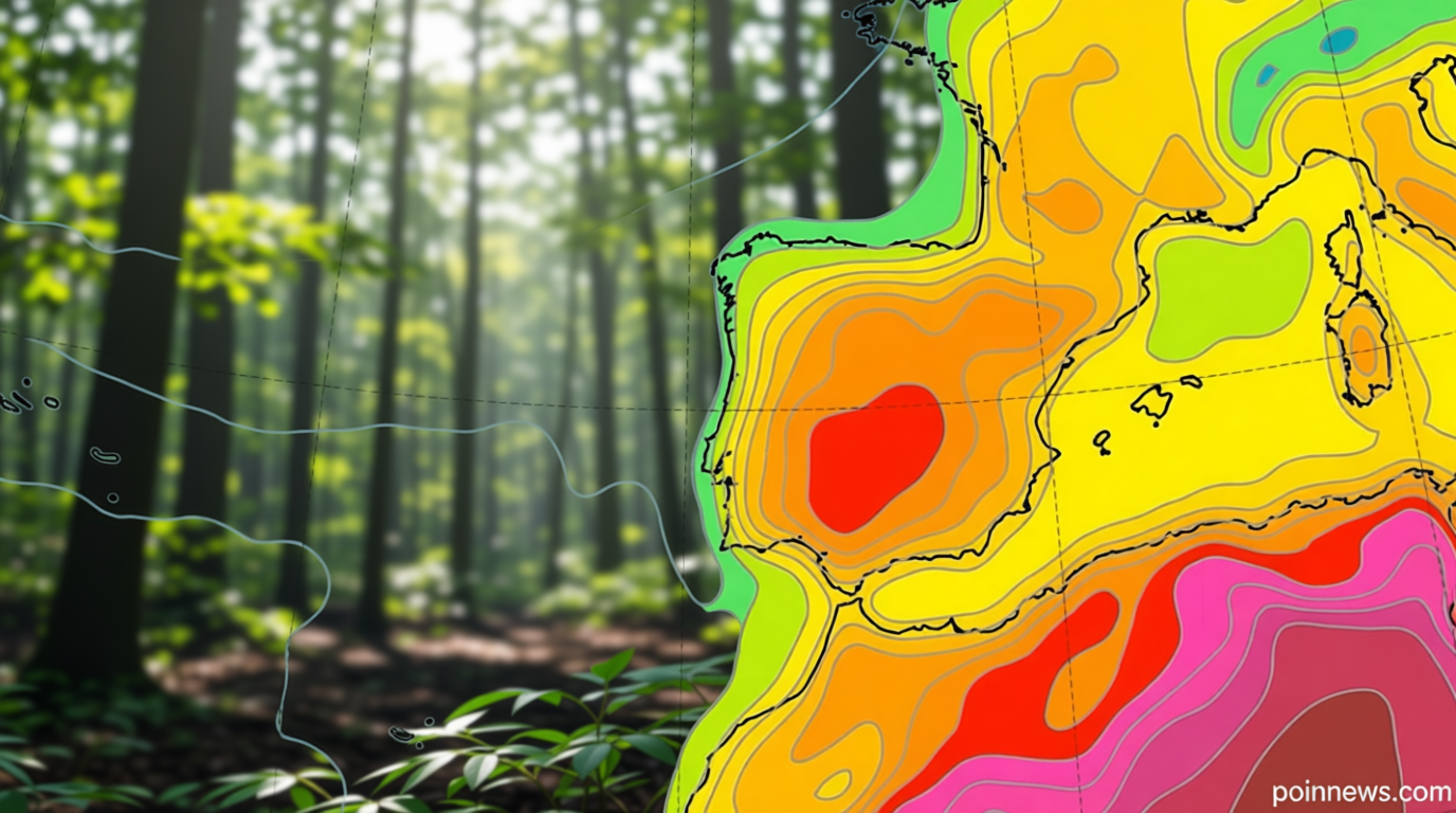
Heat Map Reveals Widespread Intense Heat in Spain: Temperature Projections and Regional Variations
Spain’s Heatwave Intensifies Across Major Regions
Poinews.com – Spain is currently grappling with an extended period of extreme heat, as illustrated by the heat map that shows most of Spain under intense thermal conditions. This pattern has persisted for several days, with meteorological reports highlighting a significant risk of temperature surges. The heat map, which has been updated regularly, underscores the disparity in weather conditions across the country, offering a visual breakdown of which areas are most affected. As the days progress, the heat is expected to intensify, leading to potential record-breaking temperatures in regions such as Madrid and Seville.
Regional Temperature Trends and Their Impact
While the heat map shows most of Spain in a state of prolonged high temperatures, certain areas are experiencing more extreme conditions than others. Central and southern regions, particularly the Guadalquivir and Guadiana valleys, are projected to see temperatures reaching or exceeding 38 ºC, with some locations possibly hitting 40 ºC. These figures are alarming, especially when compared to the average summer temperatures for the area. In contrast, the Mediterranean coast benefits from sea breezes that temper the heat, keeping temperatures between 25 and 27 ºC in cities like Barcelona. The Canary Islands, however, remain in a different climate zone, where trade winds contribute to a more stable thermal environment, though some areas still feel the heat of the broader Spanish trend.
Weather Patterns Driving the Heatwave
The current heatwave is driven by a combination of atmospheric conditions and geographic factors. A weak weather front initially brought scattered showers to the northern parts of the country, including Galicia and the Cantabrian coastline, but these were quickly overshadowed by clear skies and rising temperatures. By midday, the cloud cover that formed over the mountainous regions of the Pyrenees led to isolated thunderstorms, which may provide temporary relief but are unlikely to significantly cool the overall situation. Meanwhile, the heat map shows most of Spain experiencing a sharp increase in temperatures, which is a result of sustained high-pressure systems that have blocked cooler air from entering the region.
Historical Context and Climate Implications
This intense heatwave comes amid a broader context of climate change, as Spain’s most lethal May on record has already demonstrated the country’s vulnerability to extreme weather. The heat map shows most of Spain facing temperatures that are not only uncomfortable but also dangerous, with 101 fatalities linked to high temperatures during May alone. This number is 3.6 times the typical monthly average for the past decade, indicating a growing trend of heat-related health crises. Furthermore, the unusually warm sea temperatures along the Spanish coast have contributed to the overall heatwave, with waters in Galicia, the Cantabrian Sea, and the Mediterranean region all reaching record levels. These conditions are expected to persist, amplifying the impact of the heat on both land and coastal areas.
Weekly Forecast and Temperature Projections
As the weekend progresses, the heat map shows most of Spain continuing its trend of rising temperatures. Saturday is anticipated to bring light showers to the north, but by midday, the skies will clear, allowing for a sharp increase in heat across the majority of the country. Sunday is forecasted to be the hottest day of the weekend, with central and southern regions likely to see temperatures climb to 34 ºC, while Madrid and Seville could surpass 36 ºC during peak hours. The Cantabrian coast, although experiencing a notable temperature rise, will still offer slightly cooler conditions than the inland areas. These projections are part of a broader trend, with the heat map showing most of Spain under the influence of a high-pressure system that has intensified over the past week.
Adaptation and Preparedness in a Changing Climate
The heat map shows most of Spain facing an extended period of intense heat, prompting discussions about adaptation strategies and emergency preparedness. Authorities are urging residents to take precautions, such as staying hydrated, avoiding prolonged exposure to the sun, and ensuring adequate ventilation in homes. The regions most affected, including the Guadalquivir and Guadiana valleys, are particularly vulnerable due to their geographic location and the lack of natural cooling factors. As temperatures continue to rise, the impact on infrastructure, agriculture, and public health will become more pronounced. The heat map not only serves as a tool for immediate weather forecasting but also as a critical resource for understanding long-term climate patterns in Spain.
“The heat map shows most of Spain experiencing temperatures that are well above the historical norm, highlighting the urgent need for climate resilience measures,” stated a spokesperson from the Spanish National Meteorological Agency.